Menu
  • Home
  • Breaking News
  • Feature
    • Arts
    • Astrology
    • Business
    • Community
    • Employment
    • Event Stories
    • From the Pioneer
    • Government
    • Letters to the Editor
    • Non Profit News
    • Obituary
    • Public Safety
    • Podcast Interview Articles
    • Pioneer Pulse Podcast: Politics, Palette, and Planet – the Playlist
  • Weather
  • Guest Column
    • Perspectives
    • Don Backman Photos
    • Ardent Gourmet
    • Kitchen Maven
    • I’ve been thinking
    • Jim Heffernan
    • The Littoral Life
    • Neal Lemery
    • View From Here
    • Virginia Carrell Prowell
    • Words of Wisdom
  • Things to do
    • Calendar
    • Tillamook County Parks
    • Tillamook County Hikes
    • Whale Watching
    • Tillamook County Library
    • SOS Community Calendar
  • About
    • Contribute
    • Advertise
    • Subscribe
    • Opt-out preferences
  • Post Submission Test
  • Search...
Menu

GORDON’S WEEKLY WEATHER UPDATE 9/9/24: Change of Seasons, Some Sun, Some Rain

Posted on September 9, 2024 by Editor

By Gordon McCraw, Meteorologist for the Tillamook County Pioneer

Some good news for a change, the smoke is now getting pushed over into the Cascades as a mainly zonal, or west to east flow, rests over the region. The onshore flow did push in the marine clouds again overnight, but they burned off enough to give us some afternoon sun, so the temperature was able to make it up to near 70 again today. The marine clouds, as well as some higher clouds, move across tonight so we see mostly cloudy to cloudy skies with decreasing winds, the low near 50.

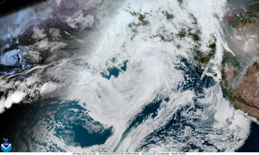
Tomorrow, we will start seeing the effects of an approaching trough of low pressure dropping down from the northwest with more mid and high clouds pushing across the area. This spells only partly sunny skies with the winds becoming westerly 5-10, highs only up near 66. Tomorrow night, the trough gets stronger as it continues to move towards the Pacific Northwest, and we start to see the rain moving in. Then a chance of showers with possible thunderstorms after around midnight, some light winds, except near any heavier showers or thunderstorms as they push through, the low near 52.

Wednesday looks wet with showers and possible thunderstorms, the winds becoming southwesterly 5-10, gusty near any thunderstorms, the high only near 63. We see more rainy conditions in the evening, still a slight chance of a thunderstorm, light northwesterly winds, the low near 51.

Thursday looks partly sunny with a slight chance of scattered showers as the trough exits the area, the high near 65, then partly cloudy but dry Thursday night, the low near 50.

We see a weak ridge pushing across on Friday which helps to dry things out but maybe only briefly as the models are suggesting another trough approaches and brings another chance of showers for Saturday and Sunday, highs near 66, lows near 50. After that, some of the long range models are showing that next week will also see some periods of rain during the week.

Backing up to how much rain we are looking at with this system expected through Tuesday night into Wednesday, the coast could see 1/2 to 3/4 inches of rain for that period while the Coast Range could see 3/4 to 1 inch.

Featured Video

Slide Contribute SUBSCRIBE

Tillamook Weather

Tides

Tillamook County Pioneer Podcast Series

Tillamook Church Search

Cloverdale Baptist Church
Nestucca Valley Presbyterian
Tillamook Ecumenical Service

Archives

  • Home
  • EULA Privacy Policy
  • Contact
  • Opt-out preferences
  • Search...
Share on facebook
Facebook
Share on pinterest
Pinterest
Share on twitter
Twitter
Share on linkedin
Linkedin
Catherine

Recent Posts

  • CIVIC SATURDAYS WITH JIM HEFFERNAN – Sermon #13 - "Which Dream Do You Dream"; Transcript from “The Citizen Artist” April 12

    May 16, 2025
  • TILLAMOOK COUNTY WEEK IN REVIEW VIDEO 5/15/25

    May 16, 2025
  • Trump’s TOP 3 FAILURES 

    May 16, 2025
©2025 | Theme by SuperbThemes

Manage Cookie Consent
To provide the best experiences, we use technologies like cookies to store and/or access device information. Consenting to these technologies will allow us to process data such as browsing behavior or unique IDs on this site. Not consenting or withdrawing consent, may adversely affect certain features and functions.
Functional Always active
The technical storage or access is strictly necessary for the legitimate purpose of enabling the use of a specific service explicitly requested by the subscriber or user, or for the sole purpose of carrying out the transmission of a communication over an electronic communications network.
Preferences
The technical storage or access is necessary for the legitimate purpose of storing preferences that are not requested by the subscriber or user.
Statistics
The technical storage or access that is used exclusively for statistical purposes. The technical storage or access that is used exclusively for anonymous statistical purposes. Without a subpoena, voluntary compliance on the part of your Internet Service Provider, or additional records from a third party, information stored or retrieved for this purpose alone cannot usually be used to identify you.
Marketing
The technical storage or access is required to create user profiles to send advertising, or to track the user on a website or across several websites for similar marketing purposes.
Manage options Manage services Manage {vendor_count} vendors Read more about these purposes
View preferences
{title} {title} {title}