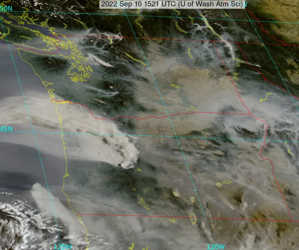
If you were wondering where the smoke was coming from… You can track the fires using a Clackamas County Fire Map here.
Cedar Creek Fire is burning 33,100 acres in Lane and Deschutes Counties
Governor Kate Brown invoked the Emergency Conflagration Act this afternoon as a preemptive measure in response to the Cedar Creek Fire burning in the National Forest east of the community of Oakridge in Lane County. This declaration allows the Office of State Fire Marshal (OSFM) to mobilize resources to support local fire service agencies in Lane County to carry out their plan to protect lives, homes, and critical infrastructure. Fire activity significantly increased because of weather and the fire was estimated at 33,100 acres as of Friday morning. Lane County Sheriff’s Office has issued evacuation orders for areas near the fire.
“The Cedar Creek Fire grew rapidly towards Oregon communities this morning, and the fire’s growth potential in the coming days is troubling, requiring additional resources to battle the fire and support the state’s response,” said Governor Brown. “This is a good reminder that conditions can change quickly, and that fire knows no bounds. With forecasted weather conditions this week and numerous fires in the wilderness areas near communities, it is important for all Oregonians to be prepared. Follow all evacuation orders and continue to follow local and statewide fire prevention regulations to keep our communities safe and our natural resources protected.”
In accordance with ORS 476.510-476.610, Governor Brown determined that a threat to life, safety, and property exists due to the fire, and the threat exceeds the firefighting capabilities of local firefighting personnel and equipment. The Governor’s declaration cleared the way for the State Fire Marshal to mobilize firefighters and equipment to assist local resources battling the fire and further support a coordinated response.
The Cedar Creek Fire has been burning in the wilderness for a month. Local fire service agencies increased staffing and plan to protect life and structures in the surrounding communities. The Oregon State Fire Marshal has been engaged with the fire defense board chief to determine fire response needs. This declaration clears the way for additional resources to respond to support the local fire service agencies. The OSFM will continuously assess response needs with the forecasted weather and fire conditions and bring in additional task forces through the Oregon Fire Mutual Aid System (OFMAS).
Additional updates for the incident may be accessed at:
* Oregon State Fire Marshal Facebook page (https://www.facebook.com/OregonStateFireMarshal/)
* OSFM Incident Information Blog OSFMInfo.org (https://osfminfo.org/)
* Cedar Creek Fire Facebook page (https://www.facebook.com/CedarCreekFire2022)
* For Evacuations in Lane County: Lane County Sheriff’s Office (https://www.facebook.com/login/?next=https%3A%2F%2Fwww.facebook.com%2FLaneCountySheriffsOffice)
Information on wildfire prevention and preparedness may be accessed at:
* ORAlert.gov (https://oralert.gov/)
* Keep Oregon Green (https://keeporegongreen.org/prevent-wildfires/)
* Oregon Wildfire Response & Recovery (https://wildfire.oregon.gov/)
* Office of Emergency Management (https://www.oregon.gov/oem/hazardsprep/Pages/Individual-Preparedness.aspx)
Winds have been steadily increasing throughout the state as the predicted weather event continues to intensify. Hot, dry conditions with strong east winds at the height of fire season make it easy for fires to start and spread quickly. Almost exactly two years ago, a similar weather event started on Labor Day, and the resulting fires devastated communities across the state.
Statewide, Oregon Department of Forestry firefighters are standing ready to do what they do best: find fires early, get to them quickly and keep them small. Success in limiting acres burned and people impacted by wildfires requires being proactive and prepared.
“I can assure you that ODF absolutely understands the seriousness of the current situation and have been actively preparing for more than a week now, said Mike Shaw, chief of fire protection for the Oregon Department of Forestry.
“We’ll do everything in our power to protect Oregonians and our state’s natural resources.”
Those preparedness efforts have included moving resources including personnel and aircraft to the areas of highest risk. At the local level, many ODF protection districts have canceled days off to ensure they have the maximum number of firefighters available to respond when needed. ODF staff has also remained in close contact with the incident management teams handling the large fires, which helps local leadership stay up-to-date on nearby fire activity so they can prepare to defend private properties if necessary.
An example of this type of preparedness effort in action is playing out in Lane County, where the Cedar Creek fire is burning on the Willamette National Forest. After seeing concerning fire growth and movement earlier this week, ODF’s South Cascade District requested personnel and heavy equipment from public and private entities statewide to staff a task force. The task force, along with several strike teams of structural engines coordinated through the Lane County Fire Defense Board Chief are focused on protecting Oakridge and other nearby private lands.
The task force is currently scouting access points and planning their attack in the event the east winds drive the fire off federal and onto private lands. The department has also increased public and industrial restrictions statewide to limit activities that pose a high risk of starting a fire.
“We need help from every one of you to keep our communities and firefighters safe,” Shaw said. “With the conditions out there and the number of fires already burning, we can’t afford another wildfire.”
ODF encourages people to check local fire danger levels and to know and follow the local public activity restrictions. An interactive map showing fire danger levels and prohibited activities on ODF-protected lands is available at https://gisapps.odf.oregon.gov/firerestrictions/PFR.html.
The map also provides information on where to learn more about fire danger and restrictions on lands outside of ODF’s jurisdiction.