


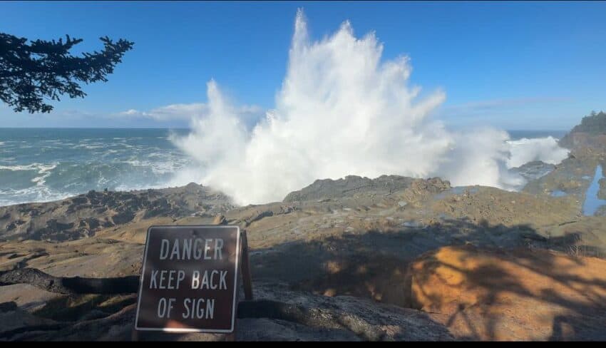
The first series of king tides, the highest high tides of the year, is coming up November 23 to 27, 2026. If you are on Oregon’s coast, you are invited to take photos of these high-water events from a safe vantage point to help document their impact on coastal communities. When visiting the coast, take extra precautions to remain aware of your surroundings, view the tides from a safe distance, never turn your back on the water, don’t climb on rocks or woody debris, and respect all road and beach closures.
The Oregon King Tides Photo Project is part of a global effort to track sea level changes. Anyone with a camera is encouraged to join in and capture a preview of how rising sea levels might affect our communities in the future. Participation is easy: choose a location along the coast, snap a photo when the tide is at its highest point, and share it on the King Tides website.
Additional winter king tides will take place December 22 to 26, 2026 and January 20 to 24, 2027.
For the past 15 years, Oregon has contributed to this international citizen science effort. Supported by the Oregon Coastal Management Program (OCMP), the CoastWatch Program of the Oregon Shores Conservation Coalition, and partners like the Oregon Coast Visitors Association and Oregon Sea Grant, this project is managed by OCMP in collaboration with coastal local governments, state and federal agencies, and other interested parties to manage, conserve, and develop Oregon’s coastal and ocean resources.
King tides occur when the sun, moon, and Earth align, producing unusually high tides. These events can cause flooding, erosion, and impact to buildings and roads, especially during storms. By observing king tides, we glimpse future sea level rise and its potential to intensify erosion, flooding, and beach access issues.
Even a small rise in sea levels could make winter storms worse and make our beaches narrower and harder to access. With the expected impacts from the upcoming El Niño season, we will likely see an even greater increase in flooding and erosion during king tides this year. King tide photos can help planners, resource agencies, conservationists, and coastal citizens get ready for these changes. You can see photos from past King Tides on the project’s Flickr site.
To join the King Tides Photo Project, capture the high-water levels around fixed features like pilings, seawalls, or bridge supports, as they help show how high the tide reaches. Include the location, date, and direction of your photo. If possible, take a second photo from the same spot during a normal high tide for comparison. Tide tables and photo tips are available on the King Tides website.
This winter’s King Tide series:
- November 23 to 27, 2026
- December 22 to 26, 2026
- January 20 to 24, 2027
** Stay Safe on the Coast: Always keep an eye on the ocean. Never put yourself in danger. Be very cautious of rising water, eroding shorelines, flooded roadways, and high winds during any extreme high tide event. Never put yourself in danger.**
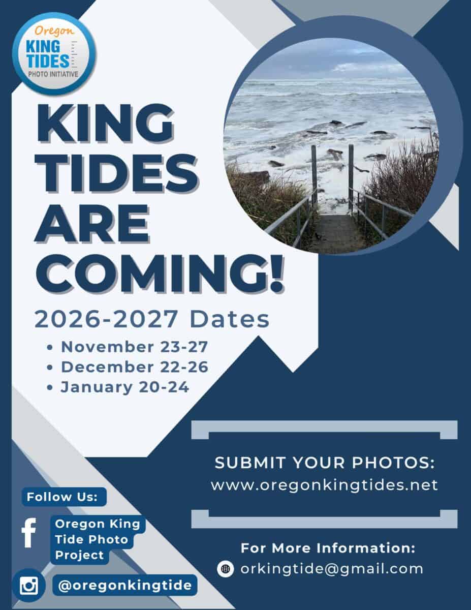 OREGON KING TIDES FREQUENTLY ASKED QUESTIONS:
“King tide” is an informal term for exceptionally high tides. They offer a glimpse of how higher sea levels may affect coastal communities. King tides describe water levels, not wave size; large surf depends on weather and ocean conditions. For dramatic waves, a winter storm usually also coincides with a high tide.
● November 23rd-27th, 2026
● December 22nd-26th, 2026
● January 20th-24th, 2027
Visit NOAA Tide Predictions (www.tidesandcurrents.noaa.gov/tide_predictions). Select the station nearest your destination. Times vary by beach and bay. Predictions do not include storm surge or wave run-up.
Depending on your location, do prior research to help visitors identify an established viewpoint at high elevation, well above the beach, with a clear route back to their car; avoiding exposed rocks, jetties and unstable cliff edges.
Never turn your back to the ocean. Sneaker waves can arrive after a long lull and can surge 150 ft or more across dry sand, and some can travel >300 ft. No fixed distance from the surf guarantees safety, elevation is key! Always stay off driftwood and away from flooded areas. Respect closures. Check
www.TripCheck.com for road conditions.
It’s a citizen science community photo project that invites anyone to document how far the year’s highest tides reach along Oregon’s coast. Photos of water beside roads, buildings and other fixed landmarks help communities understand coastal flooding and plan for rising sea levels.
From a safe location, photograph high water beside fixed features such as pilings, seawalls or bridge supports. Record the location, date, time and direction of view. If possible, photograph an ordinary high tide from the same spot for comparison. Anyone can participate, even with a phone camera! Follow photo tips and submit at www.oregonkingtides.net.
Project and photo submissions: www.oregonkingtides.net
Watch parties and learning opportunities: www.oregonshores.org/king-tides-cosci
Past photos: www.flickr.com/people/orkingtide
King Tide Project contact: Sam Derrenbacher, Oregon Shores, sam@oregonshores.org
