Menu
  • Home
  • Feature
    • Breaking News
    • Arts
    • Astrology
    • Business
    • Community
    • Employment
    • Event Stories
    • From the Pioneer
    • Government
    • Letters to the Editor
    • Non Profit News
    • Obituary
    • Public Safety
    • Podcast Interview Articles
    • Pioneer Pulse Podcast: Politics, Palette, and Planet – the Playlist
  • Guest Column
    • Perspectives
    • Don Backman Photos
    • Ardent Gourmet
    • Kitchen Maven
    • I’ve been thinking
    • Jim Heffernan
    • The Littoral Life
    • Neal Lemery
    • View From Here
    • Virginia Carrell Prowell
    • Words of Wisdom
  • Weather
  • Post Submission
  • Things to do
    • Calendar
    • Tillamook County Parks
    • Tillamook County Hikes
    • Whale Watching
    • Tillamook County Library
    • SOS Community Calendar
  • About
    • Contribute
    • Advertise
    • Subscribe
    • Opt-out preferences
  • Search...
Menu

TILLAMOOK COUNTY DAILY WEATHER BRIEFING: Gordon’s Update – 1/10/22

Posted on January 10, 2022 by Editor

By Gordon McCraw, Tillamook County Emergency Manager
Monday, January 10, 2022, noon
Weather

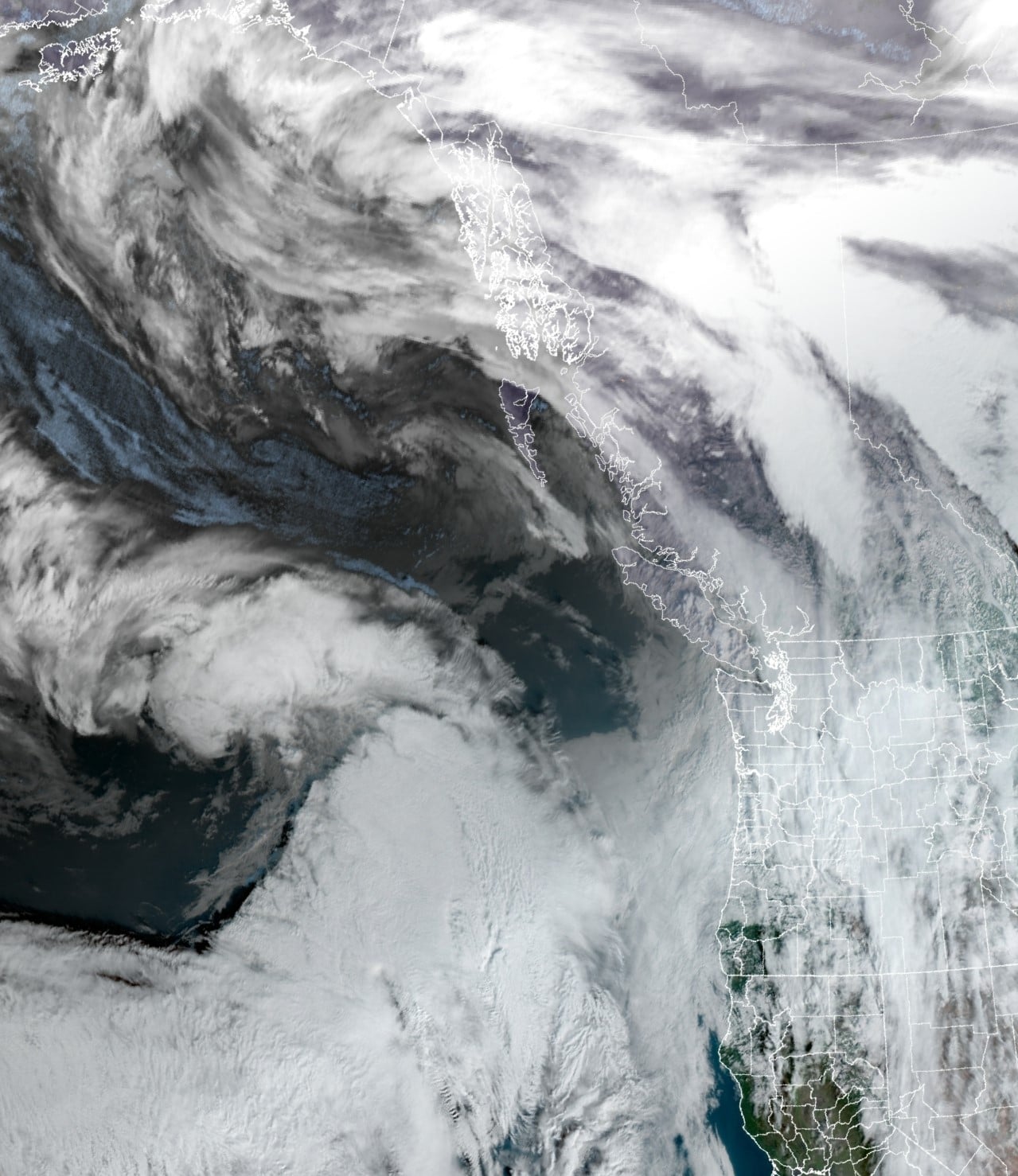
A nice weekend after a way to much rain at the end of last week. Believe it or not there is still one river in the NWS Forecast Area in Flood Stage, which nearly hit Major Flood Stage Saturday. The Chehalis River in Washington is still in Minor Flood Stage today and will not fall below until later tonight. Thankfully, though the Nehalem did get the highest, all of our rivers stayed below Moderate and Major Flood Levels.

This morning we had a system go thru that gave us some light, occasional moderate rain, now we will just see some brief periods of light spotty rain thru this evening when the chance starts to increase with another warm front approaching from the southwest. Winds today easterly 5-10, the high near 51, the rain is likely later tonight with the front, and persists through tomorrow, winds tonight still easterly 5-10, the low only drops to near 49.

So, a rainy day tomorrow, winds southerly 5-10, highs near 54, still rainy tomorrow night, light winds, lows near 48. The models are showing Wednesday to be a little better than before. It looks like some spotty rain around Wednesday though a couple of the models do bring in the next system and its associated rain, we don’t want to buy off on that just yet. We go with cloudy with about a 50% chance of rain Wednesday, highs near 56, lows near 45.

Later Wednesday into Thursday we do see a tough of low pressure moving in that increases the rain chance into Thursday morning. By Friday the models show another ridge of high pressure building that will help dry things out thru Saturday, still with some clouds around, with highs near 52, lows near 39. We could have a slight chance of showers by Sunday.

Finally, no report for tomorrow, I will be on the road, coming up for visit to Tillamook for a meet-and-greet with some folks. I won’t be on the morning Community Call either as I will be driving. See all yall Wednesday! Don’t forget to say HI if you see me around town tomorrow…

Featured Video

Ads

Slide Contribute SUBSCRIBE

Tillamook Weather

Tides

Tillamook County Pioneer Podcast Series

Tillamook Church Search

Cloverdale Baptist Church
Nestucca Valley Presbyterian
Tillamook Ecumenical Service

Archives

  • Home
  • EULA Privacy Policy
  • Contact
  • Opt-out preferences
  • Search...
Share on facebook
Facebook
Share on pinterest
Pinterest
Share on twitter
Twitter
Share on linkedin
Linkedin
Catherine

Recent Posts

  • Noland Arbaugh’s Neuralink Journey Unveiled

    June 21, 2025
  • WORDS OF WISDOM: Thinking About Fathers’ Day

    June 21, 2025
  • Nestucca High School heroes showed courage, compassion, and wisdom when it mattered most; Their quick action save Coach's life

    June 21, 2025
©2025 | Theme by SuperbThemes

Manage Cookie Consent
To provide the best experiences, we use technologies like cookies to store and/or access device information. Consenting to these technologies will allow us to process data such as browsing behavior or unique IDs on this site. Not consenting or withdrawing consent, may adversely affect certain features and functions.
Functional Always active
The technical storage or access is strictly necessary for the legitimate purpose of enabling the use of a specific service explicitly requested by the subscriber or user, or for the sole purpose of carrying out the transmission of a communication over an electronic communications network.
Preferences
The technical storage or access is necessary for the legitimate purpose of storing preferences that are not requested by the subscriber or user.
Statistics
The technical storage or access that is used exclusively for statistical purposes. The technical storage or access that is used exclusively for anonymous statistical purposes. Without a subpoena, voluntary compliance on the part of your Internet Service Provider, or additional records from a third party, information stored or retrieved for this purpose alone cannot usually be used to identify you.
Marketing
The technical storage or access is required to create user profiles to send advertising, or to track the user on a website or across several websites for similar marketing purposes.
Manage options Manage services Manage {vendor_count} vendors Read more about these purposes
View preferences
{title} {title} {title}