




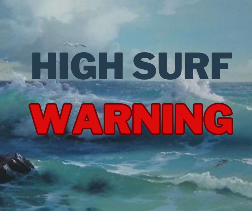
* WHAT…Large waves and dangerous surf conditions. Breakers up to 30 to 35 feet.
* WHERE…North and Central Coast of Oregon.
* WHEN…From noon Friday to noon PST Saturday.
* IMPACTS…Destructive waves may wash over beaches, jetties, and other structures unexpectedly. People can be swept off rocks and jetties and drown while observing high surf. Severe beach erosion may destroy coastal properties and buildings. Higher than normal water run-up is expected on beaches and low- lying shoreline.
* ADDITIONAL DETAILS…The threat of sneaker waves is extreme during these scenarios. Sneaker waves can suddenly knock people off of their feet and quickly pull them into the frigid ocean which may lead to serious injury or drowning. The sneaker wave threat will peak Friday evening into Friday night.
* AFFECTED AREAS: CLATSOP COUNTY COAST … TILLAMOOK COUNTY COAST … CENTRAL COAST OF OREGON
Instructions:
A High Surf Warning means that high surf will affect beaches, producing rip currents, sneaker waves and beach erosion. Stay well back from the water’s edge and be alert for exceptionally high waves. Keep away from large logs on the beach. Water running up on the beach can lift or roll logs which can injure or kill someone caught in their path.
Alert Details:
Severity: Moderate – Possible threat to life or property
Urgency: Expected – Responsive action SHOULD be taken soon (within next hour)
Certainty: Likely (p > ~50%)
Category: MET: Meteorological (inc. flood)
Event Description: High Surf Warning
