Menu
  • Home
  • Breaking News
  • Feature
    • Arts
    • Astrology
    • Business
    • Community
    • Employment
    • Event Stories
    • From the Pioneer
    • Government
    • Letters to the Editor
    • Non Profit News
    • Obituary
    • Public Safety
  • Weather
  • Guest Column
    • Perspectives
    • Don Backman Photos
    • Ardent Gourmet
    • Kitchen Maven
    • I’ve been thinking
    • Jim Heffernan
    • The Littoral Life
    • Neal Lemery
    • View From Here
    • Virginia Carrell Prowell
    • Words of Wisdom
  • Calendar
  • Things to do
    • Tillamook County Parks
    • Tillamook County Hikes
    • Whale Watching
    • Tillamook County Library
  • About
    • Contribute
    • Advertising
    • Subscribe
  • Search...
Menu

TILLAMOOK COUNTY EMERGENCY MANAGEMENT: Gordon’s Update – Weather 10/28/21

Posted on October 28, 2021October 28, 2021 by Editor
www.tillamookcountypioneer.net

By Gordon McCraw, Tillamook County Emergency Manager
Thursday, October 28, 2021, 10:00am

Weather
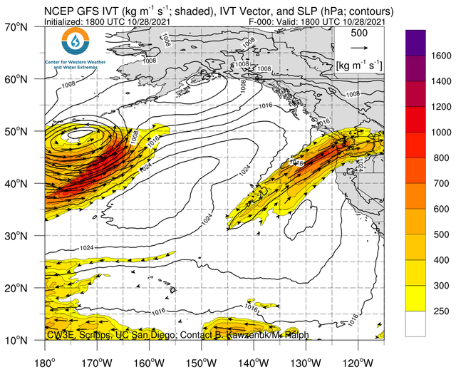
Today the atmospheric river continues to be pointed primarily at Washington, but we are also seeing some light, occasionally moderate rain from the front stuck to the north here. This will change later today as the front starts to slide back to the south, but good news for us, the front is weakening and will not linger as it moves south. While the Coast Range will enhance the precipitation, and all the river flow rates have increased, the only river of concern is the Grays River in Washington. All of our rivers remain well below Action or Flood Stage, so any flooding concerns are minimal. Finally, winds today southerly 8-12 occasionally gusting to 20, highs near 63.

The rain will ease later tonight as the front continues southward and weaken, winds shift and become northerly 5-10, lows tonight near 47. The rain will finally come to an end tomorrow morning and conditions start to improve, becoming mostly sunny with northerly winds 5-10, the high tomorrow only near 56. With partly cloudy skies tomorrow night, and dry easterly winds, the lows are down near 40.

The weekend looks good, mostly sunny days with highs near 61 still the dry easterly winds 10-15, Saturday night partly cloudy with lows near 41. Again, Sunday starts out nice but Sunday night some clouds move in as the ridge that gave us the nice weekend, shifts east ahead of the next system that brings rain Monday with a chance still Tuesday as well, highs near 57, lows near 45. Post frontal scattered showers likely Wednesday.

Featured Video

Tillamook Weather

Tides

Archives

Share on facebook
Facebook
Share on pinterest
Pinterest
Share on twitter
Twitter
Share on linkedin
Linkedin

Recent Posts

  • North County Recreation District to Begin Building New Aquatic Center this Spring, Signs Contract March 28th

    March 30, 2023
  • US Coast Guard Tillamook Bay to Hold Town Hall April 6th at Garibaldi City Hall to Discuss Channel Marker Placement, Safety

    March 30, 2023
  • Support for Marc Johnson, Nehalem Bay Health District

    March 30, 2023
editor (@) tillamookcountypioneer.net
MAILING ADDRESS:
Tillamook County Pioneer
PO Box 1086,
Tillamook, OR 97141
EULA
©2023 | Theme by SuperbThemes