Menu
  • Home
  • Breaking News
  • Feature
    • Arts
    • Astrology
    • Business
    • Community
    • Employment
    • Event Stories
    • From the Pioneer
    • Government
    • Letters to the Editor
    • Non Profit News
    • Obituary
    • Public Safety
    • Podcast Interview Articles
    • Pioneer Pulse Podcast: Politics, Palette, and Planet – the Playlist
  • Weather
  • Guest Column
    • Perspectives
    • Don Backman Photos
    • Ardent Gourmet
    • Kitchen Maven
    • I’ve been thinking
    • Jim Heffernan
    • The Littoral Life
    • Neal Lemery
    • View From Here
    • Virginia Carrell Prowell
    • Words of Wisdom
  • Things to do
    • Calendar
    • Tillamook County Parks
    • Tillamook County Hikes
    • Whale Watching
    • Tillamook County Library
    • SOS Community Calendar
  • About
    • Contribute
    • Advertise
    • Subscribe
    • Opt-out preferences
  • Post Submission Test
  • Search...
Menu

TILLAMOOK COUNTY DAILY WEATHER BRIEFING: Gordon’s Update – 2/25/2022; Sneaker Waves this Weekend

Posted on February 25, 2022 by Editor

By Gordon McCraw, for Tillamook County Emergency Management
Friday, February 25, 2022, 9:45am

One more day to enjoy the ridge of high pressure then the rain returns. Though we started out below freezing again this morning, dropping into the upper 20s again, with the ridge moving east over the area we will warm up into more seasonable temperatures today. Winds today becoming easterly 4-8, the high climbing up to 51. The ridge continues to move east tonight as a trough of low pressure approaches and gives us increasing cloudiness, the east winds 5-10, tonight’s low a little warmer also at 34.

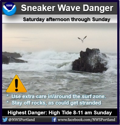
Headed to the beach this weekend? Be wary of the surf zone, as will see increased danger for sneaker waves. These sudden, higher than normal waves will push farther up the beach. If unaware, a person could be trapped on the rocks as higher water pushes up the beach. Worst yet, a person could lose their balance, fall into the cold water, and dragged seaward. So, keep aware of your surroundings when in/near the surf zone.

Tomorrow we have an approaching warm front that brings more clouds and a return of the rain later in the morning with the winds becoming southerly 8-12, the high near 51 again. The southwesterly flow increases tomorrow night bringing more rain and increasing winds southerly winds becoming 15-20 gusting to near 40, the low near 40 with winds at the beaches 25-30 gusting to 45-50.

This develops into an atmospheric river event Sunday with the southwesterly flow persisting, and so does the rain and breezy winds. There will be periods of moderate to heavy rains and gusty winds as disturbances ride the flow and move northeastward over the area thru Monday. Highs around the mid 50s, lows in the mid 40s. With all the rain we can expect increased river flow rates, but none are currently forecasted to rise significantly enough to cause late winter flooding concerns.

The rain eases a little Tuesday then another trough slides in and gives us more rain Wednesday and Thursday. High temperature continue in the mid 50s, lows in the low to mid 40s.

Featured Video

Slide Contribute SUBSCRIBE

Tillamook Weather

Tides

Tillamook County Pioneer Podcast Series

Tillamook Church Search

Cloverdale Baptist Church
Nestucca Valley Presbyterian
Tillamook Ecumenical Service

Archives

  • Home
  • EULA Privacy Policy
  • Contact
  • Opt-out preferences
  • Search...
Share on facebook
Facebook
Share on pinterest
Pinterest
Share on twitter
Twitter
Share on linkedin
Linkedin
Catherine

Recent Posts

  • Grove avenue closed in Tillamook for maintenance

    May 10, 2025
  • Astoria Farmers Market new, outdoor location with parking, with great Riverwalk access

    May 10, 2025
  • WORDS OF WISDOM: Boycotts and Protests in our Community Garden

    May 9, 2025
©2025 | Theme by SuperbThemes

Manage Cookie Consent
To provide the best experiences, we use technologies like cookies to store and/or access device information. Consenting to these technologies will allow us to process data such as browsing behavior or unique IDs on this site. Not consenting or withdrawing consent, may adversely affect certain features and functions.
Functional Always active
The technical storage or access is strictly necessary for the legitimate purpose of enabling the use of a specific service explicitly requested by the subscriber or user, or for the sole purpose of carrying out the transmission of a communication over an electronic communications network.
Preferences
The technical storage or access is necessary for the legitimate purpose of storing preferences that are not requested by the subscriber or user.
Statistics
The technical storage or access that is used exclusively for statistical purposes. The technical storage or access that is used exclusively for anonymous statistical purposes. Without a subpoena, voluntary compliance on the part of your Internet Service Provider, or additional records from a third party, information stored or retrieved for this purpose alone cannot usually be used to identify you.
Marketing
The technical storage or access is required to create user profiles to send advertising, or to track the user on a website or across several websites for similar marketing purposes.
Manage options Manage services Manage {vendor_count} vendors Read more about these purposes
View preferences
{title} {title} {title}