Menu
  • Home
  • Feature
    • Breaking News
    • Arts
    • Astrology
    • Business
    • Community
    • Employment
    • Event Stories
    • From the Pioneer
    • Government
    • Letters to the Editor
    • Non Profit News
    • Obituary
    • Public Safety
    • Podcast Interview Articles
    • Pioneer Pulse Podcast: Politics, Palette, and Planet – the Playlist
  • Guest Column
    • Perspectives
    • Don Backman Photos
    • Ardent Gourmet
    • Kitchen Maven
    • I’ve been thinking
    • Jim Heffernan
    • The Littoral Life
    • Neal Lemery
    • View From Here
    • Virginia Carrell Prowell
    • Words of Wisdom
  • Weather
  • Post Submission
  • Things to do
    • Calendar
    • Tillamook County Parks
    • Tillamook County Hikes
    • Whale Watching
    • Tillamook County Library
    • SOS Community Calendar
  • About
    • Contribute
    • Advertise
    • Subscribe
    • Opt-out preferences
  • Search...
Menu

GORDON’S UPDATE: Weather 8/24/22

Posted on August 24, 2022August 24, 2022 by Editor

By Gordon McCraw, Meteorologist for the Tillamook County Pioneer
Wednesday, August 24, 2022

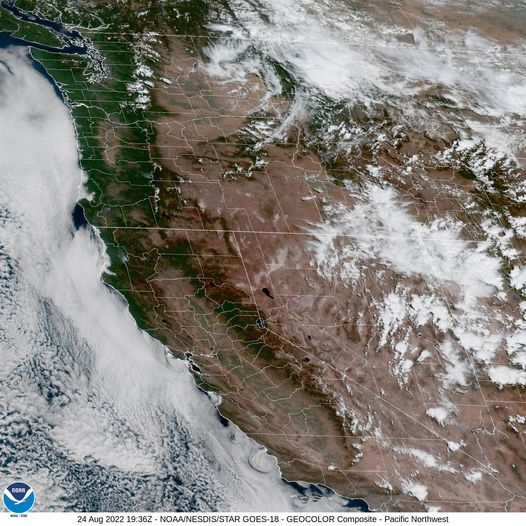
Today was the first of a couple of warmer days for the region. This is the result of another high pressure ridge building into the area from the west. As has been the case the last couple of heat waves, the coast enjoys a cooler onshore flow that moderates the heat and holds the high down in the 70s while the valley heats up into the 90s.

So, tonight we see the marine clouds returning along with some patchy fog with calm winds, the low near 58.

Tomorrow the morning patchy fog clears, then the clouds slowly burn off leaving sunny afternoon skies, winds becoming northwesterly 5-10, highs again up near 74. The ridge moves further east tomorrow night, we see the clouds and patchy fog return with the light winds, lows near 57.

By Friday, a low pressure area develops to the northwest and drifts southward along the coast which flattens the ridge and enhances the onshore flow and the marine push. So, Friday morning the patchy fog clears, the clouds are slower to burn back, and we are left with mostly cloudy skies and with daytime heating and the moisture, there is a slight chance of some light rain or drizzle around the area. The winds Friday becoming northwesterly 5-10, high down around 69. The slight chance of light rain or drizzle remains Friday night, light winds, lows near 56.

Saturday morning the low pushes inland around northern Oregon so the light rain chance remains thru the morning hours under mostly cloudy skies, the high only near 67, the clouds remain Saturday night, lows near 54.

Sunday the ridge begins to build again which starts to warm things up once more, under partly sunny skies the high is up near 70 again, then with partly cloudy skies Sunday night, the low still around 54.

The start of next week see mostly sunny skies with highs up in the mid 70s, and with partly cloudy nights under the high pressure, nighttime lows near 57.

Hang in there folks, fall is about one month away.

Slide Slide Slide Slide Slide Slide Slide Slide Subscribe Contribute

Ads

Featured Video

Tillamook Weather

Tides

Tillamook County Pioneer Podcast Series

Tillamook Church Search

Cloverdale Baptist Church
Nestucca Valley Presbyterian
Tillamook Ecumenical Service

Archives

  • Home
  • EULA Privacy Policy
  • Contact
  • Opt-out preferences
  • Search...
Share on facebook
Facebook
Share on pinterest
Pinterest
Share on twitter
Twitter
Share on linkedin
Linkedin
Catherine

Recent Posts

  • OREGON DEPT. OF FISH & WILDLIFE SHELLFISH ALERT: Mussel harvest closure Tillamook Head (South of Seaside) to north Jetty of the Siuslaw River

    June 27, 2025
  • PORT OF GARIBALDI: South Jetty Project Update from U.S. Army Corp of Engineers

    June 27, 2025
  • OREGON STATE POLICE: FATAL CRASH - HIGHWAY 101 - CLATSOP COUNTY, THURSDAY, JUNE 26, 2025

    June 27, 2025
©2025 | Theme by SuperbThemes

Manage Cookie Consent
To provide the best experiences, we use technologies like cookies to store and/or access device information. Consenting to these technologies will allow us to process data such as browsing behavior or unique IDs on this site. Not consenting or withdrawing consent, may adversely affect certain features and functions.
Functional Always active
The technical storage or access is strictly necessary for the legitimate purpose of enabling the use of a specific service explicitly requested by the subscriber or user, or for the sole purpose of carrying out the transmission of a communication over an electronic communications network.
Preferences
The technical storage or access is necessary for the legitimate purpose of storing preferences that are not requested by the subscriber or user.
Statistics
The technical storage or access that is used exclusively for statistical purposes. The technical storage or access that is used exclusively for anonymous statistical purposes. Without a subpoena, voluntary compliance on the part of your Internet Service Provider, or additional records from a third party, information stored or retrieved for this purpose alone cannot usually be used to identify you.
Marketing
The technical storage or access is required to create user profiles to send advertising, or to track the user on a website or across several websites for similar marketing purposes.
Manage options Manage services Manage {vendor_count} vendors Read more about these purposes
View preferences
{title} {title} {title}