Menu
  • Home
  • Feature
    • Breaking News
    • Arts
    • Astrology
    • Business
    • Community
    • Employment
    • Event Stories
    • From the Pioneer
    • Government
    • Letters to the Editor
    • Non Profit News
    • Obituary
    • Public Safety
    • Podcast Interview Articles
    • Pioneer Pulse Podcast: Politics, Palette, and Planet – the Playlist
  • Guest Column
    • Perspectives
    • Don Backman Photos
    • Ardent Gourmet
    • Kitchen Maven
    • I’ve been thinking
    • Jim Heffernan
    • The Littoral Life
    • Neal Lemery
    • View From Here
    • Virginia Carrell Prowell
    • Words of Wisdom
  • Weather
  • Post Submission
  • Things to do
    • Calendar
    • Tillamook County Parks
    • Tillamook County Hikes
    • Whale Watching
    • Tillamook County Library
    • SOS Community Calendar
  • About
    • Contribute
    • Advertise
    • Subscribe
    • Opt-out preferences
  • Search...
Menu

GORDON’S WEATHER UPDATE 3/27/24: Rain Showers through Thursday; Fair, dry & mild for Easter weekend

Posted on March 27, 2024March 27, 2024 by Editor

By Gordon McCraw, Meteorologist for the Tillamook County Pioneer

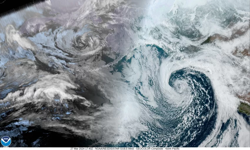
This morning there was a well defined low pressure area spinning about 500 miles west of the Washington coast with an associated front that was approaching the Oregon coast. The warm frontal portion was bringing periods of light to moderate rain that by 8:00am had given area of Tillamook between 1/3” to almost an inch of rain with more expected. As the cold front pushes across later this morning, it is expected to bring periods of heavy rain and gusty winds. The area transitioned to showers with possible thunderstorms behind the front that persist through tonight, the winds southerly 10-15 gusting to 25, overnight lows near 41, which is a change from this mornings 5:00am temperature of 50 degrees.

That low pressure area in the Pacific continues to drift towards the Oregon/Washington coast tomorrow so we can expect more showers with possible thunderstorms with breezy southerly winds 14-18 gusting to 30, highs near 50. More of the same tomorrow night, showers with possible thunderstorms, southerly winds 10-15 gusting to 30, lows near 42.

With the low pressure area now moving south along the coast towards northern California, conditions slowly improve during the day Friday, though we are still looking at some scattered showers, the winds now southerly 5-10 gusting to 18, highs near 56. By Friday night that low has weakened and is off the coast of California as a high pressure ridge builds into our area from the northwest. This will bring mostly clear skies for Friday night with light winds, the low near 40.

The high pressure ridge will bring a fair, dry, and mild weekend to the area with sunny skies Saturday and Sunday, afternoon highs near 59, then partly cloudy nights, lows near 40.

After that the models are a little mixed, some keep the ridge in place through Tuesday, some of the others start breaking it down sooner. Given this, we go with mostly sunny skies Monday with partly sunny skies with a chance of showers for Tuesday, highs still around 60, lows near 43.

Slide Slide Slide Slide Slide Slide Slide Slide Subscribe Contribute

Ads

Featured Video

Tillamook Weather

Tides

Tillamook County Pioneer Podcast Series

Tillamook Church Search

Cloverdale Baptist Church
Nestucca Valley Presbyterian
Tillamook Ecumenical Service

Archives

  • Home
  • EULA Privacy Policy
  • Contact
  • Opt-out preferences
  • Search...
Share on facebook
Facebook
Share on pinterest
Pinterest
Share on twitter
Twitter
Share on linkedin
Linkedin
Catherine

Recent Posts

  • BOOK REVIEW: Abundance by Ezra Klein & Derek Thompson

    June 29, 2025
  • ARDENT GOURMET: Hapa Pizza

    June 29, 2025
  • THE OCEANSIDER: Community Coalition Invites Input on Option to Independently Incorporate Northern Oceanside as "Oceanside Village"

    June 29, 2025
©2025 | Theme by SuperbThemes

Manage Cookie Consent
To provide the best experiences, we use technologies like cookies to store and/or access device information. Consenting to these technologies will allow us to process data such as browsing behavior or unique IDs on this site. Not consenting or withdrawing consent, may adversely affect certain features and functions.
Functional Always active
The technical storage or access is strictly necessary for the legitimate purpose of enabling the use of a specific service explicitly requested by the subscriber or user, or for the sole purpose of carrying out the transmission of a communication over an electronic communications network.
Preferences
The technical storage or access is necessary for the legitimate purpose of storing preferences that are not requested by the subscriber or user.
Statistics
The technical storage or access that is used exclusively for statistical purposes. The technical storage or access that is used exclusively for anonymous statistical purposes. Without a subpoena, voluntary compliance on the part of your Internet Service Provider, or additional records from a third party, information stored or retrieved for this purpose alone cannot usually be used to identify you.
Marketing
The technical storage or access is required to create user profiles to send advertising, or to track the user on a website or across several websites for similar marketing purposes.
Manage options Manage services Manage {vendor_count} vendors Read more about these purposes
View preferences
{title} {title} {title}