By Gordon McCraw, Meteorologist for the Tillamook County Pioneer
Well, that was a wet and windy weekend! I did some checking and found there were wind gusts at Tillamook Airport to 43 but down at the coast the wind gusts were much higher with a 66 recorded at the Garibaldi Coast Guard Station, 59 in Pacific City, Astoria had a 52 though the Astoria Bridge had a 60. To the south Newport Airport had a 59 as well. As far as rain, from Friday through Sunday there was 2.68” of rain at the Airport, with the greatest amount coming on Friday the 24th at 1.28”, Saturday and Sunday almost splitting the remainder nearly in half.
Now this morning, we had a few more showers moving across associated with an upper level trough of low pressure moving eastward through the region. Then this afternoon we saw a ridge of high pressure starting to build towards the area from the west that caps most of the shower activity briefly as a warm front moves northward and gives us increasing clouds with a slight chance of rain again after midnight with some easterly surface winds 4-8, the low down near 42.
The warm front moves in tomorrow morning, Tuesday, increasing the rain chance with the wind also increasing to easterly 8-12, the afternoon high temperature climbs to near 60. Rainy tomorrow night as the associated cold front moves through, the winds becoming westerly 5-10, the low near 46.
By Wednesday, we have a ridge of high pressure building and moving towards the coast, so any remaining showers end Wednesday morning under mostly sunny skies, the high temperature again near 60, then a mostly cloudy night, the low near 42.
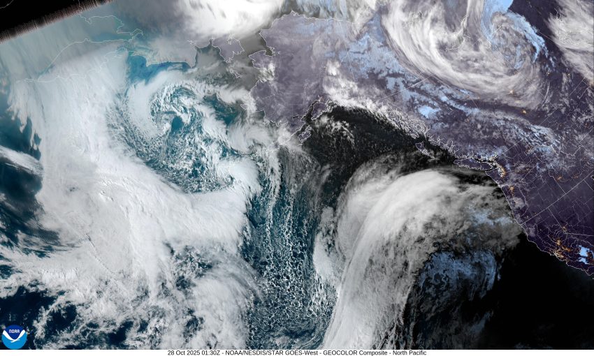
Thursday starts out nice with the ridge moving over so we continue to see mostly sunny skies, the high near 61, but then the models show a deep upper level trough of low pressure dipping towards the area along with an associated strong low pressure area moving out of the Gulf of Alaska towards the east. Throw in a front that has tapped into some subtropical moisture, and we have the elements for another moderate atmospheric river event to develop. This also spells bad news for the trick-or-treaters Friday.
So, Thursday night there is a chance of rain, with rain and breezy conditions likely by Friday, that persists into Saturday, with a chance of rain still on Sunday, the highs remain around 60, lows 45 to 50.
If there is any good news in all of this, it is that the rain amounts actually don’t appear all that severe. For now anyway, they look to be in the 1 to 3” range which would mean river flooding concerns would remain low. More good news, sorta, we potentially get an extra hour of sleep on Sunday as Daylight Savings Time ends Sunday morning, officially at 2am, so, remember to set your clocks back one hour Saturday night before you go to bed or you will be early for everything Sunday morning.
That’s it for now. If things look any different later in the week I will provide another update around Thursday. So, until next time, have a great week everyone.