Menu
  • Home
  • Breaking News
  • Feature
    • Arts
    • Astrology
    • Business
    • Community
    • Employment
    • Event Stories
    • From the Pioneer
    • Government
    • Letters to the Editor
    • Non Profit News
    • Obituary
    • Public Safety
    • Podcast Interview Articles
    • Pioneer Pulse Podcast: Politics, Palette, and Planet – the Playlist
  • Weather
  • Guest Column
    • Perspectives
    • Don Backman Photos
    • Ardent Gourmet
    • Kitchen Maven
    • I’ve been thinking
    • Jim Heffernan
    • The Littoral Life
    • Neal Lemery
    • View From Here
    • Virginia Carrell Prowell
    • Words of Wisdom
  • Things to do
    • Calendar
    • Tillamook County Parks
    • Tillamook County Hikes
    • Whale Watching
    • Tillamook County Library
    • SOS Community Calendar
  • About
    • Contribute
    • Advertise
    • Subscribe
    • Opt-out preferences
  • Post Submission Test
  • Search...
Menu

GORDON’S UPDATE: Weather 1/18/24 – Rain, Then More Rain, and Continued Rain

Posted on January 18, 2024 by Editor

By Gordon McCraw, Meteorologist for the Tillamook County Pioneer

This morning the only area that continues to have spotty ice in our area is over the top of the passes on Hwy 6. To see any significant icing you must travel through eastern Portland and into the gorge and Hood River area. In our area the overnight low at the Tillamook Airport was 43 and Tripcheck reported the temperature across the summit early this morning was down around 33 with patches of ice.

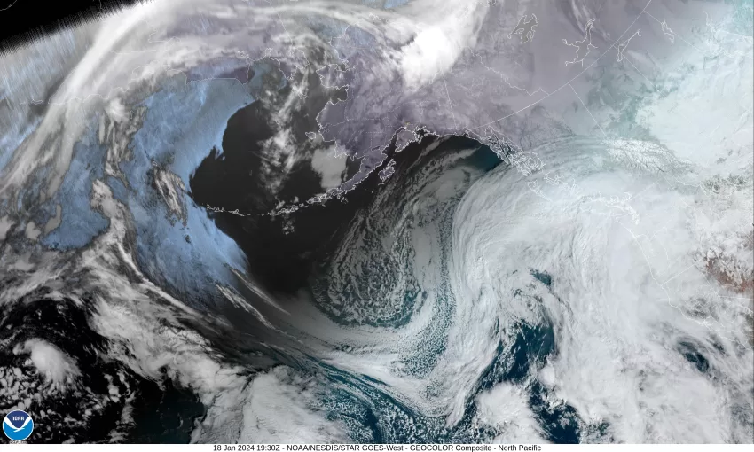
With a ridge of high pressure off to the east and a trough of low pressure to the west, we remain in a southwesterly flow that continues to push warmer rain up through the area in the persistent southwesterly flow that will likely give us somewhere between 1” to 1 ½” of rain today and tonight as another front moves across. So, obviously we will remain cloudy and rainy today with the surface winds becoming easterly 10-15 gusting to 20 then increasing to 15-20 gusting to 30 later this afternoon, the high near 50. The next system moves up towards the area tonight bringing more rain and winds with the winds easterly 20-25 gusting to 30.

The system pushes through tomorrow so continued rainy and windy with the east winds 15-20 gusting to 30, and the high near 51. More rain is likely Friday night, still the breezy easterly winds 14-18 gusting to 30, the low near 40.

We see little change in the pattern over the weekend so look for a continued southwesterly flow over the region that pushes more moisture up over our area with an occasional area of disturbed weather that enhances and increases the rain off and on. One such area will be a weakening low pressure area that developes west of northern California Friday, then moves northeastward in the flow and travels up just off the coast of Oregon Saturday into Sunday on its way to Vancouver Island. This will bring more warm rain across the area this weekend with highs in the low 50s, lows around the low 40s.

It looks like the southwesterly flow will continue to persist next week, at least through midweek, so expect little change in the forecast Monday on through Wednesday, with continued cloudy, rainy, and breezy conditions with highs around 53, lows around 47.

I did take a quick look at the rivers and while they all do see increasing flow rates, none are forecasted to get to a level of concern with all cresting well below Action Stage over the weekend.

Featured Video

Slide Contribute SUBSCRIBE

Tillamook Weather

Tides

Tillamook County Pioneer Podcast Series

Tillamook Church Search

Cloverdale Baptist Church
Nestucca Valley Presbyterian
Tillamook Ecumenical Service

Archives

  • Home
  • EULA Privacy Policy
  • Contact
  • Opt-out preferences
  • Search...
Share on facebook
Facebook
Share on pinterest
Pinterest
Share on twitter
Twitter
Share on linkedin
Linkedin
Catherine

Recent Posts

  • VOTE! VOTE! VOTE! Exercise the Right to Vote - It's More Important Than Ever

    May 15, 2025
  • A PERSONAL POINT OF PRIVILEGE: Democracy Is a Chore, So Let’s Just Appoint a Board

    May 15, 2025
  • GORDON'S WEEKEND WEATHER UPDATE 5/15/25: More showers and slight threat of thunderstorms

    May 15, 2025
©2025 | Theme by SuperbThemes

Manage Cookie Consent
To provide the best experiences, we use technologies like cookies to store and/or access device information. Consenting to these technologies will allow us to process data such as browsing behavior or unique IDs on this site. Not consenting or withdrawing consent, may adversely affect certain features and functions.
Functional Always active
The technical storage or access is strictly necessary for the legitimate purpose of enabling the use of a specific service explicitly requested by the subscriber or user, or for the sole purpose of carrying out the transmission of a communication over an electronic communications network.
Preferences
The technical storage or access is necessary for the legitimate purpose of storing preferences that are not requested by the subscriber or user.
Statistics
The technical storage or access that is used exclusively for statistical purposes. The technical storage or access that is used exclusively for anonymous statistical purposes. Without a subpoena, voluntary compliance on the part of your Internet Service Provider, or additional records from a third party, information stored or retrieved for this purpose alone cannot usually be used to identify you.
Marketing
The technical storage or access is required to create user profiles to send advertising, or to track the user on a website or across several websites for similar marketing purposes.
Manage options Manage services Manage {vendor_count} vendors Read more about these purposes
View preferences
{title} {title} {title}