By Gordon McCraw, Meteorologist for the Tillamook County Pioneer
Well Tillamook, it looks like you had a fun filled night with the strong cold front that went through bringing wind gusts to over 50 in spots, and some moderate to heavy rain at times that gave you nearly 2” of rain, a little over 3” up toward Lees Camp, and even a thunderstorm or two. This did push some of the rivers up considerably, though they have crested now, several just a few feet below Action Stage. They should continue to fall today though we will continue to see showers with possible thunderstorms the rest of today and tonight. Some good news though, the High Wind Warning for the area has been cancelled but there is still a High Surf Warning and that also increases the Sneaker Wave Hazard. This is valid until 10PM tomorrow.
So, I have already established that we will continue to see rainshowers today, still with that chance of thunderstorms, the winds westerly 15-25 gusting to 35-40, today’s high temperature near 48, the snow level around 2300’. More scattered showers with a chance of thunderstorms tonight, the winds becoming more northwesterly 10-20 gusting to 30, the low down to near 36, and the snow level down around 1400’ which means the tops of the summit of Hwy 6 and up over 26, will be seeing some accumulating snow with flurries possibly lower in the heavy showers.
We will continue to see bands of showers, some could still produce a thunderstorm or two, still some breezy northwesterly winds 10-15 with occasional gusts to 30, the high near 46. The snow level that bottoms out around 1000’ in the early morning hours, climbs with daytime heating to around 1900’. More showers, still with the chance of thunderstorms through around midnight, then a low pressure area moving toward the area will push in more rain after midnight, the winds becoming northerly 5-10, the low near 37, the snow level around 1600’.
Thursday, we see a strong northwesterly flow while we also start watching what the Arctic Airmass in Canada is doing. We can expect more rain Thursday, the snow level down to near 1600’ so questionable for the Coast Range summits, breezy westerly winds 10-15 gusting to near 30, the highs still up near 46. Then more rain, the snow level continuing to fall to around 1200’, and windy again with westerly winds 15-25 gusting to near 35, higher down at the beaches, lows near 38.
The Arctic air likely starts to push south from Canada Friday, however, not being here yet, we see rainy and breezy conditions continuing with another system, the snow level lifting to near 2300’, highs near 48. The rain continues Friday night, lows near 36.
By Saturday, we start to see some of the cold air spilling south out of Canada, but, we continue to with the rain along with some breezy southwesterly winds, the high near 45. Then rainy with some snow possible by the early morning Sunday, Saturday’s low near 34, the afternoon high Sunday climbs to near 46 and the snow level lingers at around 2600’. By Sunday night we feel the effects of the Arctic Air, and there is a chance of some snow overnight with the low down near 32. This means the Coast Range Passes will be seeing accumulating snow down to the lower levels over the weekend.
M.L.K. Day is looking partly sunny and 46, still that chance of showers.
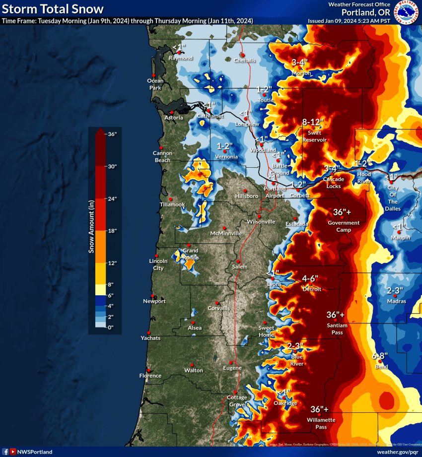
Know that there is still a lot of wiggle room between the models regarding this Arctic Airmass. Past experience says they tend to rush the colder air in too quickly, so the forecasts reflect a slowing of this. If this is wrong and the cold air moves in sooner, then the system from Friday night into Saturday could present bigger travel problems. Also, if you need to travel over into the Portland area the end of the week or weekend, you need to have a good look before you go as it will impact that area first.
The bottom line, quoting the National Weather Service folks, “Buckle up and hold on tight!” The end of this week and the start of next week could be very interesting, and very difficult to forecast. If you need to travel, especially over the passes, tripcheck.com is your friend, know before you go, check the Pioneer, and the National Weather Service site for the latest and greatest travel information. The changes can happen quickly and unexpectedly. We will continue to do the best we can, but the models are not helping, for now anyway.
And remember, it is Winter!