Menu
  • Home
  • Feature
    • Breaking News
    • Arts
    • Astrology
    • Business
    • Community
    • Employment
    • Event Stories
    • From the Pioneer
    • Government
    • Letters to the Editor
    • Non Profit News
    • Obituary
    • Public Safety
    • Podcast Interview Articles
    • Pioneer Pulse Podcast: Politics, Palette, and Planet – the Playlist
  • Guest Column
    • Perspectives
    • Don Backman Photos
    • Ardent Gourmet
    • Kitchen Maven
    • I’ve been thinking
    • Jim Heffernan
    • The Littoral Life
    • Neal Lemery
    • View From Here
    • Virginia Carrell Prowell
    • Words of Wisdom
  • Weather
  • Post Submission
  • Things to do
    • Calendar
    • Tillamook County Parks
    • Tillamook County Hikes
    • Whale Watching
    • Tillamook County Library
    • SOS Community Calendar
  • About
    • Contribute
    • Advertise
    • Subscribe
    • Opt-out preferences
  • Search...
Menu

GORDON’S WEATHER UPDATE 7/8/24: Coast sees increasing onshore flow, moderates temps; valley continues with record heat

Posted on July 8, 2024 by Editor

By Gordon McCraw, Meteorologist for the Tillamook County Pioneer

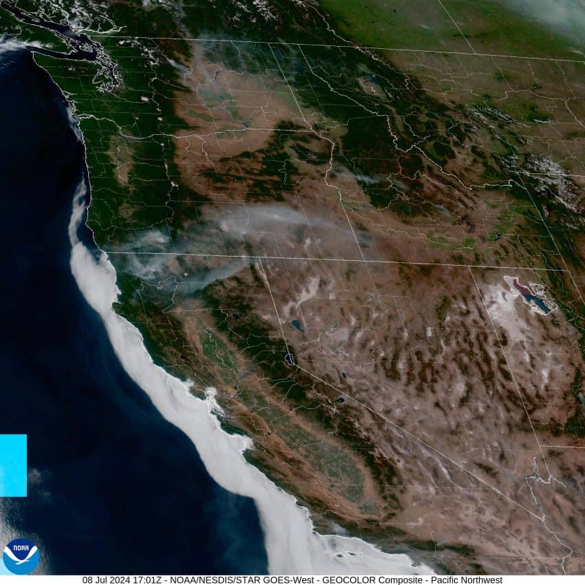
It seems it is hot everywhere, except right at the coast, and the record heat will continue for many today and tomorrow. Several records were set again yesterday with Eugene and Salem both reaching 103, Portland also set a new record after reaching 100. Locally, Tillamook airport reached 79 and Astoria airport even hit 81, as did Lincoln City to the south. This heat is compliments of a strong high pressure ridge that will drift over the area today and tomorrow which means several areas in the valley may actually be warmer the next couple of days, with highs possibly reaching 105 for some. Fortunately, the coast will see an increasing onshore flow to help keep it from seeing that record heat.

So, we saw some marine clouds and fog this morning but back came the sun along with some northwesterly winds 5-10, the afternoon high back up near 80. Some stratus and patchy fog will return tonight with calm winds, the low near 54.

Tomorrow looks to repeat the forecast with any clouds and patchy fog clearing mid-morning, leaving a sunny day with westerly winds 5-10, the high again up close to 80. Some patchy fog again possible tomorrow night with light onshore winds, lows near 52.

The ridge continues to drift east Wednesday, and the onshore flow increases, so even the valley will slowly start to cool as the marine air spills into their area as well. Here at the coast, we see a few more clouds with a mostly sunny afternoon, winds becoming northwesterly 8-12 gusting to near 20, the high only up to near 71. Look for partly cloudy skies Wednesday night with light winds, the low near 52.

Thursday the onshore flow gets a little stronger which means things will continue to slowly moderate, both at the coast, and inland. This spells continued patchy morning stratus and fog that burns off leaving a mostly sunny day, the high Thursday only up to near 68 with the breezy afternoon northwesterly winds gusting to 20-25. The winds ease again that night, lows dropping to near 48.

It looks like a fair, dry, and mild weekend is in store with mostly sunny to sunny skies for Friday, Saturday and Sunday, still breezy with the afternoon highs up near 70, then some mostly clear nighttime skies, aside from the marine fog and clouds in the early morning hours, lows down near 49.

Finally, there is still an Excessive Heat Warning in effect until 10PM Tuesday for the Coast Range eastward with some of those areas possibly seeing highs around 105, and it mentions that that those areas could be seeing the warmest nights so far in this prolonged heatwave which would impact recovery times from the days heat.

And you ask, is this heat wave returning anytime soon? A look ahead by the Climate Prediction Center suggests they are leaning towards above normal temperatures with a probability of 40-50% for the period of July 15th through the 21st. But, a look at the long range models suggest a trough of low pressure will be approaching the coast around the middle of next week which would suggest some cooling.

Slide Slide Slide Slide Slide Slide Slide Slide Subscribe Contribute

Ads

Featured Video

Tillamook Weather

Tides

Tillamook County Pioneer Podcast Series

Tillamook Church Search

Cloverdale Baptist Church
Nestucca Valley Presbyterian
Tillamook Ecumenical Service

Archives

  • Home
  • EULA Privacy Policy
  • Contact
  • Opt-out preferences
  • Search...
Share on facebook
Facebook
Share on pinterest
Pinterest
Share on twitter
Twitter
Share on linkedin
Linkedin
Catherine

Recent Posts

  • Tillamook PUD Lineworker Program Scholarships Awarded

    July 5, 2025
  • TILLAMOOK COUNTY PUBLIC WORKS NOTICE: July 7th, 2025 ROAD WORK; July 8th, 2025 ROAD CLOSURE - Olsen Rd / Trask River Rd / 3rd St / Fairview Rd Intersection

    July 5, 2025
  • DECLARATION OF INDEPENDENCE - July 4, 1776; Video Reading from Tillamook Library's Maxwell Park - 249th Birthday of US July 4, 2025

    July 4, 2025
©2025 | Theme by SuperbThemes

Manage Cookie Consent
To provide the best experiences, we use technologies like cookies to store and/or access device information. Consenting to these technologies will allow us to process data such as browsing behavior or unique IDs on this site. Not consenting or withdrawing consent, may adversely affect certain features and functions.
Functional Always active
The technical storage or access is strictly necessary for the legitimate purpose of enabling the use of a specific service explicitly requested by the subscriber or user, or for the sole purpose of carrying out the transmission of a communication over an electronic communications network.
Preferences
The technical storage or access is necessary for the legitimate purpose of storing preferences that are not requested by the subscriber or user.
Statistics
The technical storage or access that is used exclusively for statistical purposes. The technical storage or access that is used exclusively for anonymous statistical purposes. Without a subpoena, voluntary compliance on the part of your Internet Service Provider, or additional records from a third party, information stored or retrieved for this purpose alone cannot usually be used to identify you.
Marketing
The technical storage or access is required to create user profiles to send advertising, or to track the user on a website or across several websites for similar marketing purposes.
Manage options Manage services Manage {vendor_count} vendors Read more about these purposes
View preferences
{title} {title} {title}