Menu
  • Home
  • Breaking News
  • Feature
    • Arts
    • Astrology
    • Business
    • Community
    • Employment
    • Event Stories
    • From the Pioneer
    • Government
    • Letters to the Editor
    • Non Profit News
    • Obituary
    • Public Safety
    • Podcast Interview Articles
    • Pioneer Pulse Podcast: Politics, Palette, and Planet – the Playlist
  • Weather
  • Guest Column
    • Perspectives
    • Don Backman Photos
    • Ardent Gourmet
    • Kitchen Maven
    • I’ve been thinking
    • Jim Heffernan
    • The Littoral Life
    • Neal Lemery
    • View From Here
    • Virginia Carrell Prowell
    • Words of Wisdom
  • Things to do
    • Calendar
    • Tillamook County Parks
    • Tillamook County Hikes
    • Whale Watching
    • Tillamook County Library
    • SOS Community Calendar
  • About
    • Contribute
    • Advertise
    • Subscribe
    • Opt-out preferences
  • Post Submission Test
  • Search...
Menu

GORDON’S WEEKLY WEATHER UPDATE 10/21/24: Rain decreases overnight, a couple of dry days, then rain returns for the weekend

Posted on October 21, 2024October 21, 2024 by Editor

By Gordon McCraw, Meteorologist for the Tillamook County Pioneer
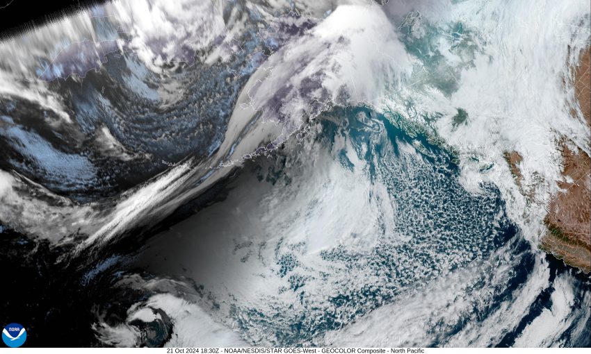
Thanks to a front passing through overnight, and a trough moving across that pushed the system off to the southeast, the Tillamook area saw between ½ to ¾” of rain. As you move southward, the numbers were a little higher with the Lincon City area seeing just over 1” of rain. All this is being followed by a low pressure area that is dropping down the coast from the Vancouver Island area so we continue to see showers with possible thunderstorms until around midnight when high pressure starts to build in, which eases, then diminishes any remaining showers in the early morning hours. The winds will also be easing, then becoming calm before sunrise, and with all the moisture, a few breaks in the clouds, and the temperature dropping to near 41, patchy morning fog is possible by the morning commute.

So, we start out with a slight chance of widely scattered light showers tomorrow, but with the ridge building, we will enjoy mostly sunny skies in the afternoon, the winds becoming northerly 4-8, highs near 58. The chance of patchy fog returns tomorrow night and in the early morning hours as the winds diminish after around midnight, the low drops to near 39.

The ridge continues to dominate the pattern Wednesday which gives us mostly sunny skies again, the winds northerly 5-10, and the high temperature back up near 57. Then there is a chance that a disturbance will ride across in the flow, so there is a slight chance of rain Wednesday night, the low down near 38.

We see mostly sunny skies still on Thursday though there is still that slight chance of the disturbance giving us some rain or rainshowers, the afternoon high near 58, then the models show a trough of low pressure moving towards the area which means back come the clouds and a chance of rain Thursday night into Friday with the high up near 60, lows near 41 Thursday night but making it up to near 48 Friday night.

Sorry folks, the weekend looks mostly cloudy to cloudy with rain likely Saturday as another disturbance moves across. Then Sunday the models say another decent low pressure area develops to the west and moves up into the Pacific Northwest giving us more rain, and the longer range models suggest more periods of rain likely for next week as well.

Finally, now is that time of year when we start hearing about what to expect this winter in the way of weather. One of the indicators for what to expect is whether they are forecasting El Nino or La Nina conditions. The folks at the Climate Prediction Center are suggesting they are seeing a cooling of the equatorial ocean waters which leads them to forecast that this year we are likely to see a weak La Nina year, or at least a 60% chance of one. During La Nina years, we tend to be cooler and wetter than average, and we often see an increase in the mountain snow over the winter months under these conditions also. The Climate Prediction Center forecasts the weak La Nina conditions will persist through the January to March time frame as well. All this to say, if you are a betting person, the odds are slightly in favor of us seeing the cooler and wetter conditions this winter. Does this mean that you should prepare for wetter and cooler? The answer from a former Emergency Manager is YES, you should always be prepared. Does it mean we will see it? The best we can offer is…maybe…but maybe not!

Featured Video

Slide Contribute SUBSCRIBE

Tillamook Weather

Tides

Tillamook County Pioneer Podcast Series

Tillamook Church Search

Cloverdale Baptist Church
Nestucca Valley Presbyterian
Tillamook Ecumenical Service

Archives

  • Home
  • EULA Privacy Policy
  • Contact
  • Opt-out preferences
  • Search...
Share on facebook
Facebook
Share on pinterest
Pinterest
Share on twitter
Twitter
Share on linkedin
Linkedin
Catherine

Recent Posts

  • GORDON'S WEEKEND WEATHER UPDATE 5/15/25: More showers and slight threat of thunderstorms

    May 15, 2025
  • NEHALEM BAY STATE PARK TO OPEN DAY-USE AREAS, BOAT LAUNCH MAY 23, CAMPGROUND REMAINS CLOSED

    May 14, 2025
  • MANZANITA FARMERS MARKET OPENS FRIDAY MAY 16TH!!

    May 14, 2025
©2025 | Theme by SuperbThemes

Manage Cookie Consent
To provide the best experiences, we use technologies like cookies to store and/or access device information. Consenting to these technologies will allow us to process data such as browsing behavior or unique IDs on this site. Not consenting or withdrawing consent, may adversely affect certain features and functions.
Functional Always active
The technical storage or access is strictly necessary for the legitimate purpose of enabling the use of a specific service explicitly requested by the subscriber or user, or for the sole purpose of carrying out the transmission of a communication over an electronic communications network.
Preferences
The technical storage or access is necessary for the legitimate purpose of storing preferences that are not requested by the subscriber or user.
Statistics
The technical storage or access that is used exclusively for statistical purposes. The technical storage or access that is used exclusively for anonymous statistical purposes. Without a subpoena, voluntary compliance on the part of your Internet Service Provider, or additional records from a third party, information stored or retrieved for this purpose alone cannot usually be used to identify you.
Marketing
The technical storage or access is required to create user profiles to send advertising, or to track the user on a website or across several websites for similar marketing purposes.
Manage options Manage services Manage {vendor_count} vendors Read more about these purposes
View preferences
{title} {title} {title}