By Gordon McCraw, Meteorologist for the Tillamook County Pioneer
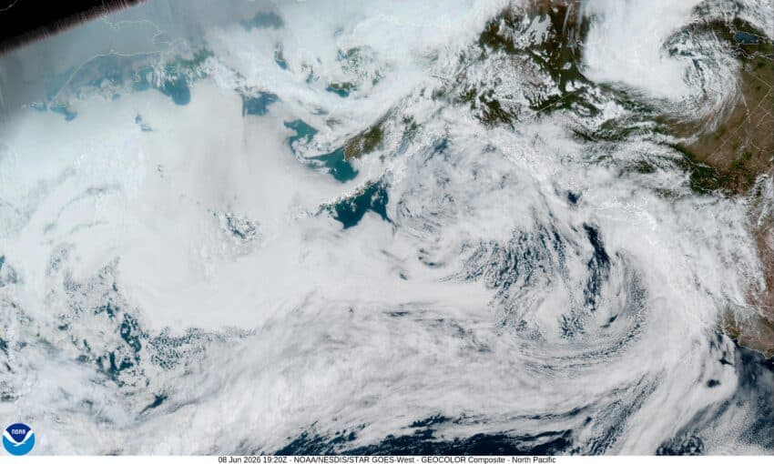
Sorry about missing last week folks but I had a family medical emergency that kept me away. Well, we are out of the hospital so, I am back, but unfortunately, so is the rain. So today we had a low pressure area to our west that tracked northeastward towards upper Washington that pushed in an associated front that gave us some rain and breezy winds. The rain and southwesterly winds will continue tonight, gusting to near 30, the low near 53. As usual, down at the beaches the winds could be higher, gusting to 40-45 as the front crosses this evening.
It looks like the associated trough of low pressure will slowly move in tomorrow, bringing in more rain and gusty winds. This gives us another rain day with westerly winds 10-15 gusting to 20, the afternoon high near 59. The rain starts to ease tomorrow night by around midnight, the winds ease, overnight lows near 49. Rainfall totals for this two day event is around 1” of rain, maybe a little higher in the Coast Range.
On Wednesday, things start improving as a ridge of high pressure begins to build in from the west. So, after we start out with some patchy early morning fog, we enjoy a partly sunny day with light winds, the high near 61, with partly cloudy skies Wednesday night. The patchy fog returns, overnight lows around 47.
Thursday and Friday look nice, sunny skies with temperatures in the mid 60s during the day then a couple of mostly clear nights, lows in the upper 40s to low 50s.
Then, summer makes as early appearance. Saturday and Sunday look sunny with the high temperature Saturday in the upper 70s. Then on Sunday they climb up into the low 80s. The Coast Range is looking at the 80s both days, maybe even up around 90 Sunday. And over in the valley, they are forecasted to reach into the low to mid 90s both days.
And lastly, the first day of summer is actually Sunday, June 21st, and the next full moon is June 29th.