











By Gordon McCraw, Meteorologist for the Tillamook County Pioneer
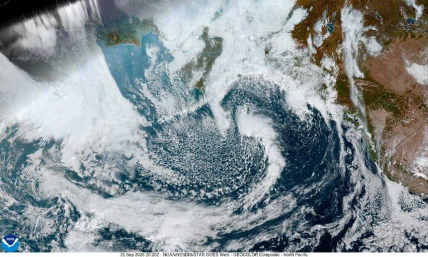
Well, officially, fall starts tomorrow, September 22nd, and by the end of the week, it will likely feel like it. The current high pressure ridge will get pushed to the east today as several troughs move southeastward and bring an increasing chance of rain later this week.
So, after a decent day today, the clouds return again tonight along with the patchy fog. The low temperature tonight down near 52.
We slowly become sunny again tomorrow with the winds becoming westerly 5-10, the afternoon high near 67. The clouds return tomorrow night, and with calm winds, so does the patchy fog, the low drops down to near 45.
We stay mostly cloudy Wednesday as the trough slides in, mainly to the north, the winds becoming northwesterly 4-8, the high near 68, then with mostly cloudy skies that night, the low drops to near 48.
Another upper level trough strengthens and moves in by Thursday, so look for some increasing clouds, then a slight chance of rain starting Thursday afternoon, the high near 66, the rain chance increases by Thursday night, the low again dropping to near 48.
We keep the chance of rain Friday as the trough weakens and moves eastward, which then allows the high pressure ridge to build in over the area, so, the rain ends by around noon under mostly cloudy skies, the high only near 63, then in comes the patchy fog again Friday night, the low dips to near 45.
The weekend is looking partly sunny and cool with some patchy early morning fog, the highs near 62, a little warmer Sunday, at 65, then some mostly cloudy nights, with the lows in the mid 40s.
Lastly, I will work on and write up this season’s winter outlook later this week, so keep an eye out for that upcoming posting in the near future.
