Menu
  • Home
  • Breaking News
  • Feature
    • Arts
    • Astrology
    • Business
    • Community
    • Employment
    • Event Stories
    • From the Pioneer
    • Government
    • Letters to the Editor
    • Non Profit News
    • Obituary
    • Public Safety
    • Podcast Interview Articles
    • Pioneer Pulse Podcast: Politics, Palette, and Planet – the Playlist
  • Weather
  • Guest Column
    • Perspectives
    • Don Backman Photos
    • Ardent Gourmet
    • Kitchen Maven
    • I’ve been thinking
    • Jim Heffernan
    • The Littoral Life
    • Neal Lemery
    • View From Here
    • Virginia Carrell Prowell
    • Words of Wisdom
  • Things to do
    • Calendar
    • Tillamook County Parks
    • Tillamook County Hikes
    • Whale Watching
    • Tillamook County Library
    • SOS Community Calendar
  • About
    • Contribute
    • Advertise
    • Subscribe
    • Opt-out preferences
  • Post Submission Test
  • Search...
Menu

GORDON’S WEEKLY WEATHER UPDATE 9/23/24: Seasonal shift, partly sunny, some rain showers possible

Posted on September 23, 2024 by Editor

By Gordon McCraw, Meteorologist for the Tillamook County Pioneer

Welcome to Fall everyone, it snuck in Sunday morning, pushing the Summer of 2024 into the history books. The days will continue to get shorter, and the average temperatures decrease while the chance of rain increases.

We continue to be under the influence of a high pressure ridge but we did have a weak disturbance ride over the top of the ridge then drop southward across the area. This did little other than to give us some patchy fog and mist this morning. This ridge built back stronger today, so we saw a fair and mild day with the high temperature in the low 70s. Tonight, we have partly cloudy skies, maybe that patchy morning fog with calm winds, the low temperature dropping to near 57.

Tomorrow morning, we can expect some patchy dense fog as the ridge continues to build bringing sunny skies after the fog clears, with light northwesterly winds, that high peaking at 77 as the ridge axis moves directly over the top of us. By Tuesday night the ridge has continued to push eastward as a trough of low pressure digs southward, as it moves southeastward towards the coast. This should bring increasing cloudiness, and with calm winds, some patchy fog is again possible, the overnight low near 55.

An approaching system brings a chance of rain Wednesday morning then a chance of scattered showers Wednesday afternoon. We see light southerly winds that morning followed by southwesterly winds 5-10 in the afternoon, the afternoon temperatures only up around 63. The amount of rain is in question as the air ahead of the system is very dry but amounts of ¼ to ½” are possible. We continue to have some showers around Wednesday night with an upper level trough moving over the area, the low temperature dropping to near 49.

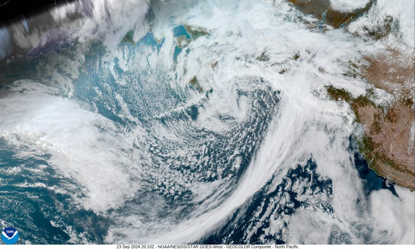
By Thursday we see the trough sliding eastward with a low pressure area up in the Gulf of Alaska. The combination leads to weak high pressure, in what will pretty much be a zonal, or west to east flow. Unfortunately, we do see a low pressure area developing offshore of British Columbia that will move eastward, this pattern does put us on the wet side of the low. What all this means for us is…we see a slight chance of rain in the afternoon Thursday with that chance increasing by Thursday night that persists into Friday morning. High temperatures around 65, lows in the upper 40s to low 50s.

Just in time for the weekend, mostly sunny skies return with highs near 65, mostly clear nights, lows near 46. The long range models suggest the next shot of rain isn’t until later next week.

Featured Video

Slide Contribute SUBSCRIBE

Tillamook Weather

Tides

Tillamook County Pioneer Podcast Series

Tillamook Church Search

Cloverdale Baptist Church
Nestucca Valley Presbyterian
Tillamook Ecumenical Service

Archives

  • Home
  • EULA Privacy Policy
  • Contact
  • Opt-out preferences
  • Search...
Share on facebook
Facebook
Share on pinterest
Pinterest
Share on twitter
Twitter
Share on linkedin
Linkedin
Catherine

Recent Posts

  • ARDENT GOURMET: Stunning Szechuan Garden in Hillsboro

    May 19, 2025
  • South County Candidates Forum: Nestucca Valley School District Candidates say, “Get Out the Vote!”

    May 19, 2025
  • REPRESENTATIVE CYRUS JAVADI TOWN HALL MAY 21ST IN TILLAMOOK AT TBCC

    May 19, 2025
©2025 | Theme by SuperbThemes

Manage Cookie Consent
To provide the best experiences, we use technologies like cookies to store and/or access device information. Consenting to these technologies will allow us to process data such as browsing behavior or unique IDs on this site. Not consenting or withdrawing consent, may adversely affect certain features and functions.
Functional Always active
The technical storage or access is strictly necessary for the legitimate purpose of enabling the use of a specific service explicitly requested by the subscriber or user, or for the sole purpose of carrying out the transmission of a communication over an electronic communications network.
Preferences
The technical storage or access is necessary for the legitimate purpose of storing preferences that are not requested by the subscriber or user.
Statistics
The technical storage or access that is used exclusively for statistical purposes. The technical storage or access that is used exclusively for anonymous statistical purposes. Without a subpoena, voluntary compliance on the part of your Internet Service Provider, or additional records from a third party, information stored or retrieved for this purpose alone cannot usually be used to identify you.
Marketing
The technical storage or access is required to create user profiles to send advertising, or to track the user on a website or across several websites for similar marketing purposes.
Manage options Manage services Manage {vendor_count} vendors Read more about these purposes
View preferences
{title} {title} {title}